


Here we go again!! A High Wind Warning is posted for the Borderland starting at 10 a.m. Thursday. Secure your trash bin right now because we had a viewer write KTSM to tell us the winds carried away their trash receptacle, which flew down the street, flipping over a neighbor’s wall and scattering all the trash all over the street. Yuck! No!
TONIGHT: The skies will be clear, but the SW winds will remain a steady breeze through the night. The SW winds will range from 5-20 mph, causing the east slopes to be windy. The low will drop to 35.
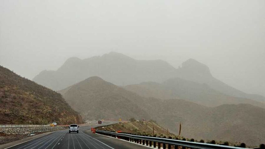
FORECAST: A High Wind Warning is posted for Thursday starting at 10 AM. The west-NW winds will pick up and gust to 65 mph. Stronger gusts will be possible on the east slopes, and we can expect blowing dust as a powerful low-pressure system moves through. Thursday’s high will be 55* but prepare for a major drop in temperatures in the afternoon as the cold front comes through. The skies will turn mostly cloudy by afternoon, and we’ll see brief, passing rain showers that will mix over to light snow flurries around 9 PM. It will be brief with no accumulations. Only KTSM gives you 9 full days of weather. The clouds clear out, and the winds lighten up for Friday. Friday will be sunny and 49 with chilly breezes. Saturday will be sunny and 60 with warmer winds. Sunday will be mostly sunny with gusty winds and a high of 65. Gusts could approach 50 mph. Monday will be sunny and 61. Tuesday will be partly cloudy and 58.
Read: Read More