



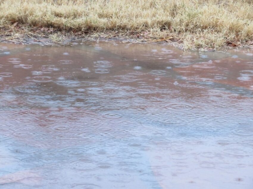
I promised you a Spring-like day today, and we officially hit that 75. That’s just 2 from the record of 77 set in 1963. I hope you enjoyed it because the weather is about to change in a profound way on Friday. We need the rain, and we shall get some on Friday. Thankfully, we are not likely to flood the way California did with this approaching Pacific storm. Our strong winds will be a major factor nonetheless. Thanks to Weather Watcher Penny Duncklee for this picture of rain in winter.
TONIGHT: The skies will be partly cloudy, and the winds will steadily increase in the night. The SW-West winds will range from 10-35 mph with the strongest gusts on the east slopes of the mountains. The low will be a warm 50.
FORECAST: KTSM has issued a Weather Authority Alert for Friday and Saturday in anticipation of a significant cold front, powerful winds, and rain on Friday. The skies will be cloudy with rain showers. The SW-West winds will range from 15-50 mph with the strongest gusts on the east slopes. Friday’s high will drop to 58. On Saturday, the winds will be stronger and colder. A High Wind Watch is posted for Saturday. The NW winds will gust to near 55 mph with the strongest gusts on the east slopes. With a high of 53, the winds will feel much colder. Expect cloudy skies Saturday morning with afternoon clearing. The winds will slowly die down through the night on Saturday night, leaving us in the upper 30s. Sunday will be sunny with a chilly NW breeze and a high of 60. Monday will be mostly sunny and 69. Tuesday will be partly to mostly cloudy and warmer with a high of 71. The gusty winds return on Wednesday with a chance of rain. Wednesday’s high: 63. Thursday will be sunny with chilly winds and a high of 57.
Read: Read More