


I hope you enjoyed the day because Thursday will be the “cool” day of the next nine days. There’s good news and bad news in the long range forecast. The bad is that we could hit 106 on Wednesday. The good is that Thursday’s heat may spawn some t-showers that could give us some rain.
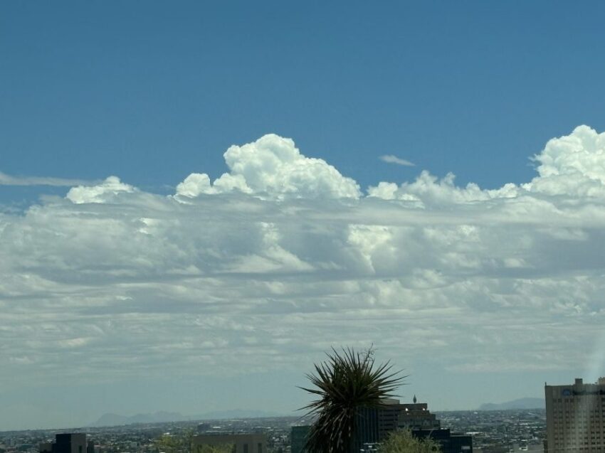
Clouds. Remember them? This picture from Weather Watcher Pat Graham-Casey.
TONIGHT: The skies will be clear, and the winds will be windy on the east slopes of the mountains. The west winds will range from 10-30 mph but will die down through the night. The low will drop to 68.
FORECAST: Friday will be mostly sunny with just a few clouds and a high of 99. The SW winds will range from 5-20 mph… just breezy in the afternoon. Saturday will bring sunshine and hot breezes. The SW winds will pick up and gust to 25 mph. This will pop Saturday’s high up to 100. Sunday will be sunny with moderate winds to 30 mph and a high of 101. Monday will be sunny with hot winds and a high of 100. A significant ridge of high pressure starts to build up on Tuesday, ushering in some extreme heat days. Tuesday will be mostly sunny and 102. Wednesday will be sunny and 106. Thursday will start out sunny but end with scattered, potentially strong t-showers. Thursday’s high: 104.
Read: Read More