


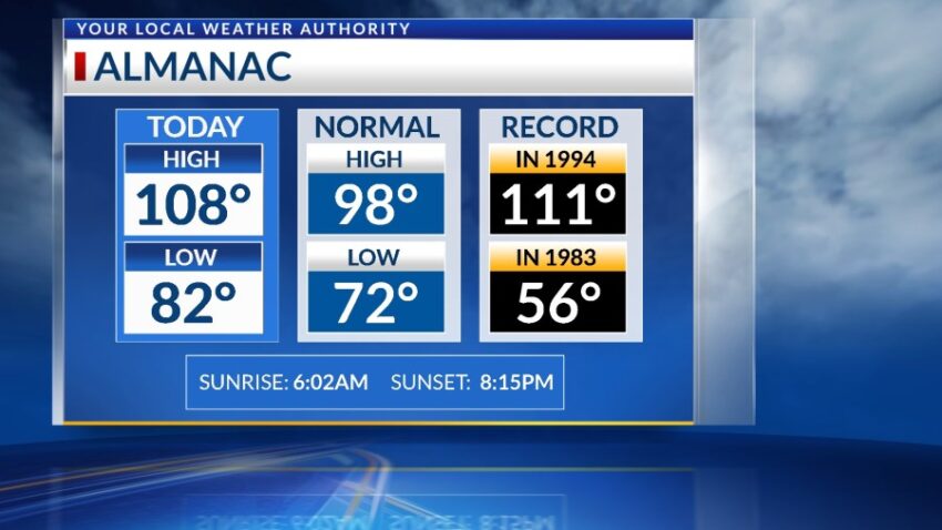
Believe it or not, today was NOT a record. The official high is 108 for today, and with the high dew point temperatures, it was a miserable, “pressure-cooker” day. The record on this date is 111 set in 1994. Yes, we’ve added to the “Misery Meter.” Tomorrow, we will be extremely hot again, but we have an excellent chance of potentially strong t-showers by evening.
TONIGHT: The skies will be partly cloudy. We have the slightest chance of an isolated area t-storm, or we could see some distant lightning. The winds will be light and variable at 5-10 mph, and the low will drop to 83.
FORECAST: A Heat Advisory is posted through Wednesday. Wednesday will be partly cloudy with a high of 107. Instability and moisture go way up for Wednesday, so expect widely scattered showers and t-storms. Some of those storms may become very strong or reach severe limits. Thursday will be partly to mostly cloudy with a high of 100. Scattered t-showers are likely late Thursday. Friday will be partly cloudy and 103 with only the slightest chance of an isolated area t-storm. Saturday will be partly cloudy and 105. Widely scattered showers and t-showers will be likely Saturday evening. Sunday will be partly cloudy and 100 with a few isolated area storms. Monday will be partly cloudy with isolated area t-storms and a high of 101.
Read: Read More