


As expected, we dried out today. You could feel the difference with the lower dew point temperatures (humidity). Where did the monsoon storms go? They shifted west to Arizona for a few days, but we’ll get our rain chances back by Tuesday evening.
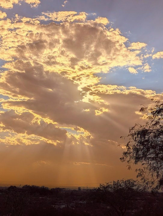
Weather Watchers Sandra and Charles Tanski sent in this beautiful picture of the sun peeking through the clouds in Las Cruces.
TONIGHT: The skies will be clear, and the winds will slowly die down in the night. The east-SE winds will range from 10-20 mph with stronger gusts on the west slopes. The low will drop to 73.
FORECAST: Saturday will be sunny and hot with a high of 102. The east-SE winds will range from 10-20 mph. The west slopes will be windy at times in the afternoon. Sunday will be mostly sunny and hot as well with a high of 103. The SE winds will range from 10-20 mph. Monday will be mostly sunny with just a few clouds. We’ll have the slightest chance of an isolated late day t-storm. Monday’s high: 101. Tuesday will be partly cloudy with a high of 100. We’ll see isolated area late day t-storms by Tuesday evening. Wednesday will be partly to mostly cloudy with widely scattered t-showers and a high of 98. Thursday will be partly to mostly cloudy with widely scattered showers and t-showers. Thursday’s high: 94.
Read: Read More