


We’re way too hot and dry for mid-July. The official high today is 103! The record is 105 set in 2023.
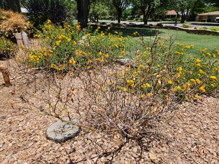
I normally like to show off my shrubs and flowers in my garden, but as you can see in the picture below, my Double Punch Rose Bush is dead. Do not plant Double Punch Roses in direct sun; it’s simply too hot for them. Thankfully, our rain chances return soon.
TONIGHT: The skies will be partly cloudy early in the evening but turn clear overnight. The SE winds will range from 5-15 mph, and the low will drop to 76.
FORECAST: Wednesday will be partly cloudy and hot as well with a high of 102. The SE winds will range from 5-15 mph, and we will have a very slight chance of an isolated area t-storm in the afternoon. Our monsoon storms return with vigor on Thursday. Thursday will be partly cloudy with widely scattered late day t-showers. Brief, heavy rainfall will be possible out of some storms. Thursday’s high: 99. Friday will be partly cloudy with scattered late day t-showers and a high of 97. Saturday will be partly cloudy with scattered late day t-showers. Saturday will be 96. Sunday will be partly cloudy with isolated area t-storms. Sunday’s high: 93.
Read: Read More