


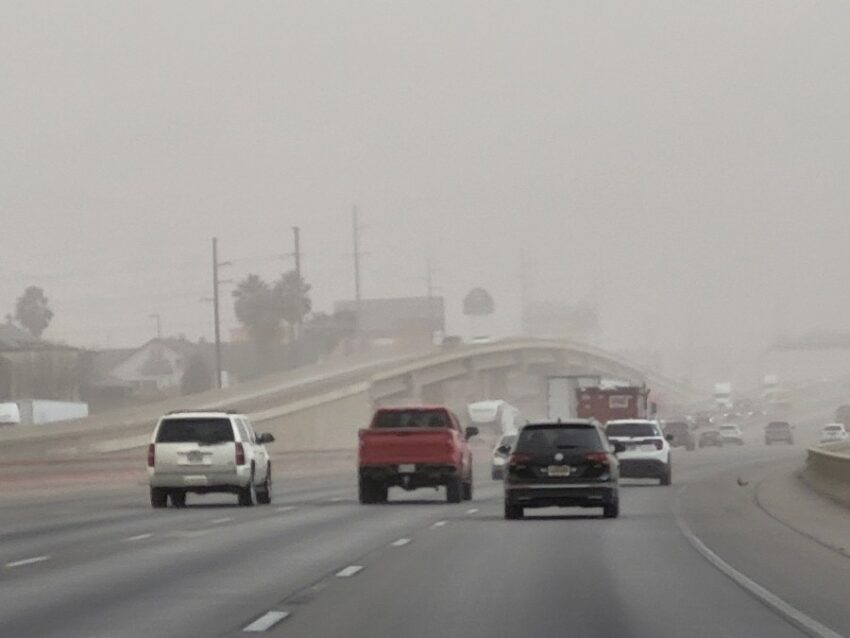
What a nasty day!! Not only did we experience a “brown out” today with the dust, at times, we really did look like Mars. Our peak gust at the airport was 54 mph. Our high today was 72, and the record on this date is 85 set in 2009. Just look at this Weather Watcher picture from AJ Cueto. Unfortunately, we are in for more gusty winds and dust on Tuesday as well. Here’s your exclusive 9-Hour Forecast:


TONIGHT: KTSM has issued a Weather Authority Alert due to powerful winds and blowing dust tonight and Tuesday. A High Wind Warning and a Dust Advisory are posted until 8 PM and may be extended. The west winds will range from 25-55 mph with the strongest gusts on the east slopes of the mountains. The skies above the dust will be partly cloudy. The low will drop to 46.
FORECAST: Tuesday will be another very windy day. The W-NW winds will range from 15-55 mph, and the high will drop to 67. Again, the winds will cause blowing dust. Wednesday will be beautiful with mostly sunny skies and light winds, a refreshing reprieve from the strong winds. The south breeze will range from 5-15 mph, and the high will be 72. Thursday will bring more gusty winds and a dusty haze. The SW winds will gust near 50 mph, and the high will be 78. Friday will bring powerful winds and blowing dust. The W-NW winds will gust near 60 mph. The skies will cloud up in the afternoon, and we could see a few drops of rain mixed with the dust. Friday’s high: 66. Saturday will be sunny but windy and a dusty haze. Saturday’s high: 63.

 Read: Read More