


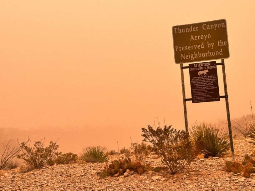
The day was as horrible as I envisioned. Our peak gust at the airport has been 52 mph so far. We remain under at Dust Storm Warning until 6:30 PM and two other advisories (wind and dust) until 7 PM. Even after 7 PM, the gusty winds will continue with a dusty haze in the air. The high today was 73, which is 4 degrees above normal. Sadly, we’re going to do it all again Friday. Here’s your exclusive 9-Hour Forecast plus some Weather Watcher pictures that capture the misery of today.


TONIGHT: KTSM is extending the Weather Authority Alert through Saturday due to powerful winds and blowing dust, which is creating dangerous driving conditions. A Wind Advisory and a Dust Advisory are posted until 7 PM. The W-SW winds will gust near 60 mph, and the winds will diminish slightly overnight but will remain gusty through the night. The low will be 50. The skies will be partly cloudy.
FORECAST: Friday will be partly cloudy with strong winds and blowing dust. The west winds will gust near 60 mph. Friday’s high: 67. Saturday will be partly to mostly cloudy with a few drops as a cold front blows through. The NW winds will gust near 55 mph, which will cause blowing dust. The high will drop to 59, and the winds will slowly diminish Saturday evening. Sunday will be sunny and beautiful with a high of 66. The winds will be light and variable. Monday will be sunny and warmer with a high of 76. The south winds will range from 5-15 mph. Tuesday will be partly cloudy with gusty winds and a dusty haze. Tuesday’s high: 79. Wednesday will be partly cloudy with a high of 70. The SW-W winds will pick up and gust near 45 mph.

Read: Read More