



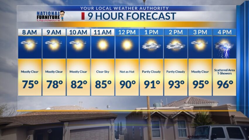
After this weekend of extreme heat, with a high of 105 on Sunday, I have some good news and bad news in the forecast. We drop down to 96 on Tuesday with scattered area t-showers. That’s the good news. The bad news is that we will be even hotter next weekend!! Here’s your exclusive 9-Hour Forecast for Tuesday:

TONIGHT: The skies will be clear overnight, and the winds will shift direction. Late evening, the winds will turn E-NE at 5-10 mph. This will charge up the dew point temperatures for possible storms Tuesday. The low will be 71.
FORECAST: Tuesday will start out clear, but the afternoon clouds will build up. We’ll be cooler with a high of 96, and the SE-E winds will range from 5-15 mph. Expect a chance of area t-showers with some individual storms producing brief, heavy rain. Wednesday will be partly cloudy with only a slight chance of isolated area t-storms. Wednesday’s high: 99. Thursday will be partly cloudy with a high of 102. High pressure builds up for the Father’s Day weekend, and once again, high temperatures move back into the extreme range. Friday will be sunny and very hot with a high of 104. Saturday will be sunny and 107. Father’s Day Sunday will be sunny and 108 as high pressure reaches its maximum.

Read: Read More