



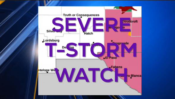
We remain under a Severe T-Storm Watch until 9 PM in El Paso County. A very unstable and moist atmosphere has delivered heavy rainfall and hail to parts of the Borderland. Do not drive into flooded roadways. Our Weather Watchers captured the forming afternoon storms.
A Flood Advisory is posted for the entire west side, Upper Valley, and Santa Teresa and Anapra until 6:45 PM.


TONIGHT: KTSM has issued a Weather Authority Alert due to the potential for strong t-showers, heavy rain, gusty winds in excess of 60 mph, and hail. A Severe Thunderstorm Watch is posted until 9 PM. The atmosphere is very moist and unstable, and we can expect widely scattered t-showers. Do not drive into flooded roadways. Late evening, the storms will taper off; however, we could experience random, strong wind gusts well into the night. Variable winds will range from 10-30 mph with stronger gusts near storms. Overnight, the winds will die down, the skies will clear, and the low will drop to 68.
Here’s your exclusive 9-Hour Forecast for Wednesday:

FORECAST: Wednesday will be partly cloudy with only a slight chance of isolated area t-storms. The chance of significant rainfall or strong storms goes way down for Wednesday. Wednesday’s high: 99. The SW winds will range from 5-20 mph. Thursday will be partly cloudy with a high of 102. The west winds will range from 5-15 mph. Friday will be mostly sunny and very hot with a high of 104. High pressure builds up for the Father’s Day weekend, and once again, high temperatures move back into the extreme range. Saturday will be sunny and 106. Father’s Day Sunday will be sunny and 108 as high pressure reaches its maximum. Monday will be sunny and 107. Tuesday will be partly cloudy and 103.

 Read: Read More