


The oppressive heat continues! Today’s high is 106. The record on this date is 109 in 2023. Monday’s high was 106. Sunday’s high was 105. Unfortunately, the big zone of high pressure is back again tomorrow, if not slightly stronger than today. I brough the high down to 107 for Wednesday from 108, but the bottom line is that we need to be careful outside for the next few days.
Here is your exclusive 9-Hour Forecast for Wednesday:

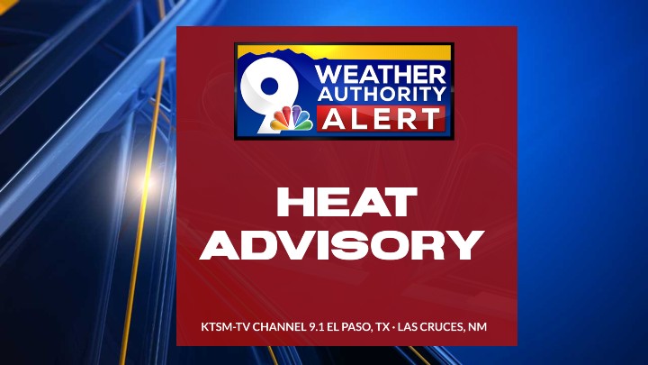
TONIGHT: KTSM has issued a Weather Authority Alert due to extreme heat through Thursday. Tonight: The skies will be clear, and the winds will be light. Variable winds will range from 5-10 mph, and the low will be a mild 77.
FORECAST: A Heat Advisory is posted for El Paso, Dona Ana, and Luna Counties through Wednesday at 9 PM. A dome of high pressure reaches its maximum on Tuesday before starting to break down this weekend. Wednesday will be sunny and hot with a high of 107. The south-SE wind will range from 5-15 mph. Thursday will be sunny and 106 with light winds. Friday will be sunny and 104 with hot breezes. Saturday will be partly cloudy with a very slight chance of evening t-storms and a high of 103. Finally, the ridge of high pressure breaks down as monsoonal moisture moves back in. Sunday will be partly cloudy and 99 with widely scattered showers and t-showers. Some storms may become strong.

 Read: Read More