


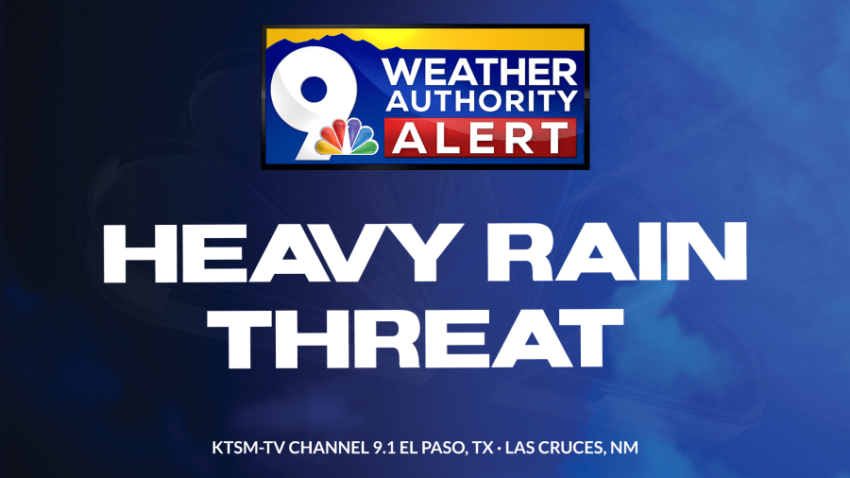
I have issued a Weather Authority Alert due to the surge in tropical moisture over the Borderland as well as high in stability. The combination of those factors means we need to be ready for rapidly changing weather conditions. T-showers tonight, Saturday, and Sunday could unlock intense rainfall that could flood streets and arroyos quickly. Here’s your exclusive 9-Hour Forecast for Saturday with 9-Day Forecast below.

TONIGHT: KTSM has issued a Weather Authority Alert due to the potential for heavy rainfall out of individual t-showers Friday, Saturday, and Sunday. Elevated moisture and instability charge up our storm chances through the night and weekend ahead. The skies will be partly to mostly cloudy. Expect scattered showers and t-showers periodically through the night with the possibility that some storms may unlock up to 1.5 inches of rain quickly. Do not drive into flooded roadways. A threat of heavy rain is not a guarantee of heavy rain, but KTSM wants you prepared in case. The SW winds will range from 5-15 mph, excluding near area storms where winds will be gusty. The low will be 70.
FORECAST: Saturday will be partly to mostly cloudy with scattered showers and t-showers. Some storms may produce heavy rainfall. Saturday’s high will only be 89 due to the thick cloud cover and elevated humidity. Sunday will be partly to mostly cloudy with widely scattered showers and t-showers. We’ll see longer periods of midday sunshine on Sunday. Again, some storms may produce heavy rainfall. Sunday’s high: 93. Monday will be partly cloudy with scattered PM showers and t-showers. Monday’s high: 95. Tuesday will be partly cloudy and 99 with isolated PM t-showers. Wednesday will be mostly sunny and 101 as a ridge of high pressure reaches its maximum for one single day. Thursday will be mostly sunny and 99.

 Read: Read More