


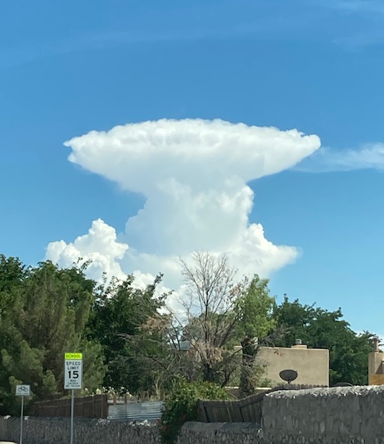
Weather Watcher Candace Whitney sent in this picture of an “isolated t-storm,” or a cell all by itself. Though we had heavy rain at times last night, we shift gears tonight and through the weekend as we dry out. The official high today is 102, and the record is 104 set in 1975.
TONIGHT: The skies will be partly cloudy with a very slight chance of isolated area showers/t-storms. Overnight, the skies will turn clear. The south winds will range from 5-15 mph with occasional gusts, and the low will drop to 76.
FORECAST: Friday will be extremely hot with a high of 105 as high pressure reaches its maximum. We’ll have only a slight chance of isolated PM storms on Friday evening. The east winds will range from 5-15 mph. Saturday will be hot and dry with mostly sunny skies and a high of 103. Sunday will be mostly sunny with a few clouds and a high of 102. After Sunday, the dome of high pressure begins to break down. Monday will be partly cloudy with a high of 100. Expect widely scattered t-showers Monday evening. Tuesday will be partly cloudy and 99. Wednesday will be mostly sunny and 100.
Read: Read More