


We wanted our t-showers to come back, and they did with a vengeance on the east side of El Paso County today. Flood advisories were posted until 4:45 PM. If you did not receive any rainfall today, don’t worry. We’ll have a chance of t-showers each day through Monday.
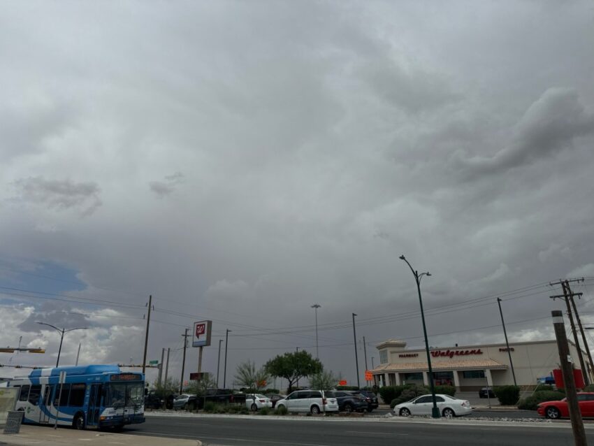
The official high today is 92; the record, 109 set in 2023. As for rain, we only recorded a trace at the airport. Some parts of Horizon City and surrounding areas received over a half an inch. Weather Watcher Robert Mendez sent in this pic of the t-storms today.
TONIGHT: Weather Authority Alert: KTSM has issued a Weather Authority Alert due to the potential for brief, heavy rainfall that may flood streets and arroyos over the next few days. Expect widely scattered t-showers. Some storms may drop heavy rainfall, so do not drive into flooded roadways. The SE winds will range from 10-20 mph with occasional gusts near area storms. The low will drop to 73. Storm chances will taper off through the evening.
FORECAST: Friday will be partly cloudy with scattered late day t-showers and a high of 97. The SE winds will range from 5-15 mph, and the afternoon will feel quite muggy with relatively high humidity. Some area t-showers may produce brief, heavy rainfall. Saturday will be partly to mostly cloudy with widely scattered late day t-showers bringing the threat of brief, heavy rainfall. Saturday’s high: 96. Sunday will be partly to mostly cloudy and a little cooler with a high of 93. More scattered t-showers are likely on Sunday. Monday will be partly to mostly cloudy and the coolest day of the week with a high of 89. We’ll see a few isolated showers/t-showers on Monday. Tuesday will be partly cloudy and 93 with only a slight chance of isolated area storms. Wednesday will be partly cloudy, dry, and 96.
Read: Read More