


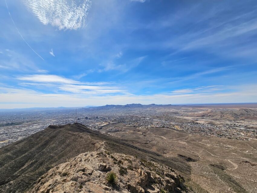
Just yesterday, KTSM engineer Juan Espinoza climbed up to our transmitter on Ranger Peak and cleaned the tower cam lens. Then, here come the mudballs again! Oh, well… we tried!!
TONIGHT: KTSM has issued a Weather Authority Alert due to gusty winds, blowing dust, and an advancing cold front. The west winds will range from 15-50 mph with the strongest gusts on the east slopes. A Dust Advisory is posted until 6 PM. The skies will be partly cloudy with a slight chance of a few passing drops of rain. The low will drop to 46.
FORECAST: A cold front comes in on Friday, dropping the high to 60. Expect partly to mostly cloudy skies with a chance of isolated showers/t-storms, especially in the late evening hours. The NW winds will range from 10-30 mph (no dust). Saturday will start out cloudy but will turn partly cloudy by afternoon. Saturday’s high: 60. The east winds will range from 5-15 mph. Sunday will be sunny with light winds and a high of 69. Monday will be mostly sunny and very warm with a high of 77. Tuesday will be partly cloudy with gusty winds and a high of 78. A dusty haze will be possible on Tuesday. Wednesday will be mostly sunny and windy with a high of 75.
Read: Read More