


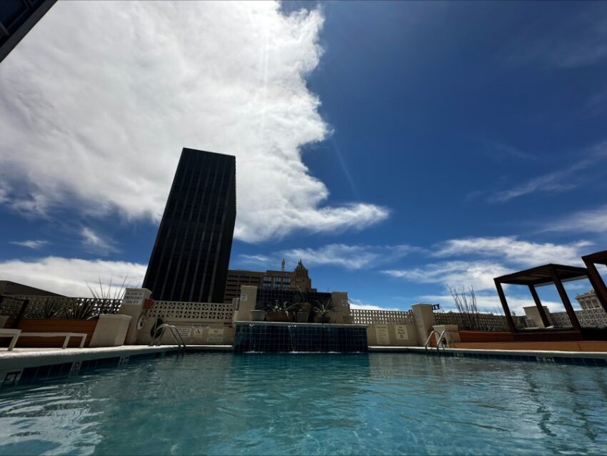
Our official high temperature today was 99, just 1 degree shy of our first triple-digit day. Thankfully, a “cool” front comes in for Tuesday adjusting the highs back down toward normal. We will see another chance to hit 100 a week from Wednesday. Until then, Weather Watcher James Bell has the right idea… the pool at the Hotel Indidgo.
TONIGHT: The skies will be partly cloudy, and the winds will be gusty much of the evening. West winds will range from 15-50 mph with the strongest gusts on the east slopes of the mountains. The winds will die down a bit but remain windy on the east slopes. The low will be 68.
FORECAST: Tuesday will be mostly sunny with just a few clouds and moderate winds. The SW winds will range from 10-40 mph (no dust), and the high will be a little cooler at 93. Wednesday will be sunny with moderate winds and a high of 93. The SW winds will range from 10-35 mph (no dust). Thursday will be sunny and windy with a high of 92. Friday will be sunny and windy with a high of 94. On Saturday, a powerful low-pressure system sweeps through with a high of 96. Peak gusts will be 50 mph, causing a dusty haze.
Read: Read More