


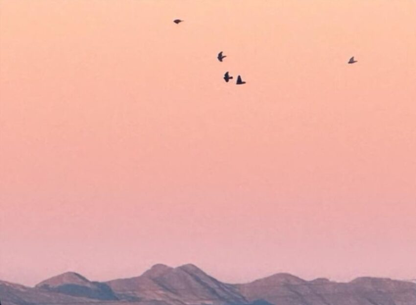
Today was as unpleasant as expected with the blowing dust! The official peak gust at the airport was 56 mph from the SW. That popped the high up to 81, which was only 2-degrees from the record of 83 set in 1972. Only in El Paso can you see an image like this one from Weather Watcher Robert Nashwick, which looks like Mars but with birds.
TONIGHT: KTSM has issued a Weather Authority Alert due to the gusty, strong winds and dusty haze for the afternoon and evening. The SW-west winds will gust to near 55 mph. Expect stronger gusts on the east slopes of the mountains. We’ll see a few clouds, and the winds will slowly start to diminish past midnight. The low will drop to 48.
FORECAST: Thursday will be mostly sunny and cooler with a high of 69. The NW winds will range from 10-25 mph, much lighter than Wednesday’s winds. Friday will be beautiful with light winds and a high of 70. Saturday will be partly cloudy and warmer with a high of 78. Sunday will be partly to mostly cloudy with moderate winds and a high of 79. Monday will be mostly cloudy but should stay dry with a high of 75. Tuesday will bring mostly cloudy skies, gusty winds, and scattered rain showers. Tuesday’s high: 73.
Read: Read More