


Record heat today! The high is 103, which ties the record of 103 set in 2020. Could we see our last triple-digit day this Sunday?
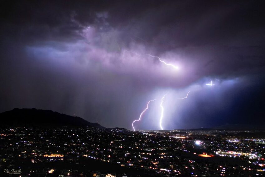
Finally, our monsoon has returned with brilliant evening t-showers. Weather Watcher Ray Chiarello sent this amazing video capture of last night’s storm.
TONIGHT: The skies will be partly cloudy with isolated evening t-storms. Brief rain will be possible with individual storms. Area storms will clear overnight as skies turn partly cloudy. The south winds will range from 5-15 mph, and the low will drop to 75.
FORECAST: Friday will be partly cloudy with scattered late day t-showers. Brief, heavy rain will be possible with individual storms. Friday’s high will be 102, and the south winds will range from 5-120 mph. Saturday will be partly cloudy with isolated late day t-storms. Saturday’s high: 101. Sunday will be partly cloudy with isolated t-storms and a high of 100. On Monday, the ridge of high pressure starts to break down. Monday will be 96 with scattered showers and t-showers. Tuesday will be partly to mostly cloudy with a high of 92. Wednesday will be partly to mostly cloudy with a high of 93. Thursday will be partly cloudy with scattered t-showers and a high of 93.
Read: Read More