



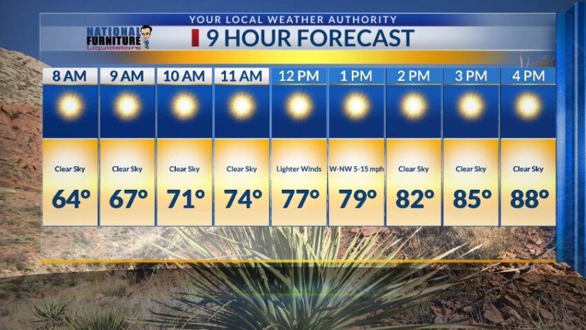
Six of the last 8 days have been gusty and dusty, so it is with enormous pleasure that I announce a much needed break from those winds!! Here’s your exclusive 9-Hour Forecast for Tuesday:

TONIGHT: KTSM has issued a Weather Authority Alert due to strong winds and blowing dust until 10 PM tonight. Winds will peak in strength between 6 PM and 8 PM with peak gusts between 55 mph and 60 mph. Those strongest gusts will be on the east slopes of the mountains. Overnight, the winds will start to die down and turn light in the early morning hours. The low will be 60.
FORECAST: Tuesday will be an absolutely beautiful day with sunshine and light winds. With a high of 88, the NW winds will range from 5-15 mph (no dust). Wednesday will be sunny and breezy with a high of 95. High pressure is building up for a hot end of the workweek. Thursday will be sunny and 98. On Friday, high pressure reaches its maximum, and with a hot SW breeze to 20 mph, we should hit our first 100 of the year. Skies will be sunny on Friday. Saturday will be partly cloudy with moderate winds and a high of 97. Sunday will be sunny with moderate winds with a high of 98. Monday will be partly cloudy and 96.

Read: Read More