


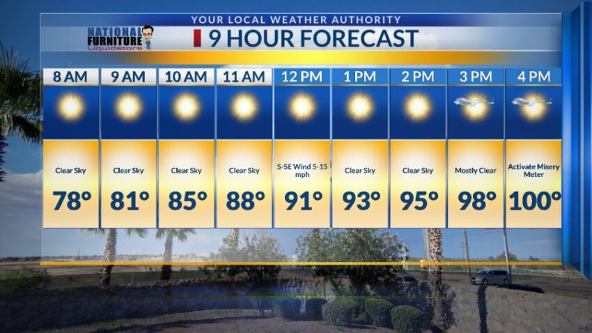
As a big ridge of high pressure builds over the Borderland, the t-storms will be suppressed, and the heat will become a serious concern next week. Here’s your exclusive 9-Hour Forecast for Saturday, as well as the current “Misery Meter” indicating 26 days of triple-digit heat so far this year:


TONIGHT: The skies will be partly cloudy early in the evening and clear overnight. We have the slightest chance of an isolated area t-storm. Rain chances are near zero for El Paso tonight. The SE winds will range from 5-15 mph, and the low will drop to 75.
FORECAST: Saturday will be mostly sunny and hot with a high of 100. The south-SE winds will range from 5-15 mph. Sunday will be sunny and hot with a high of 104. High pressure builds up over the Borderland raising highs into the Extreme Heat range for several days. Monday will be sunny with a high of 105. Tuesday will be mostly sunny and 106. Wednesday should be the hottest day of the week as the high-pressure zone reaches its maximum. Wednesday will be sunny and 108. Thursday will be mostly sunny and 106. Friday will be mostly sunny and 103. Saturday will be partly cloudy and 102 with isolated late day t-storms.

Read: Read More