


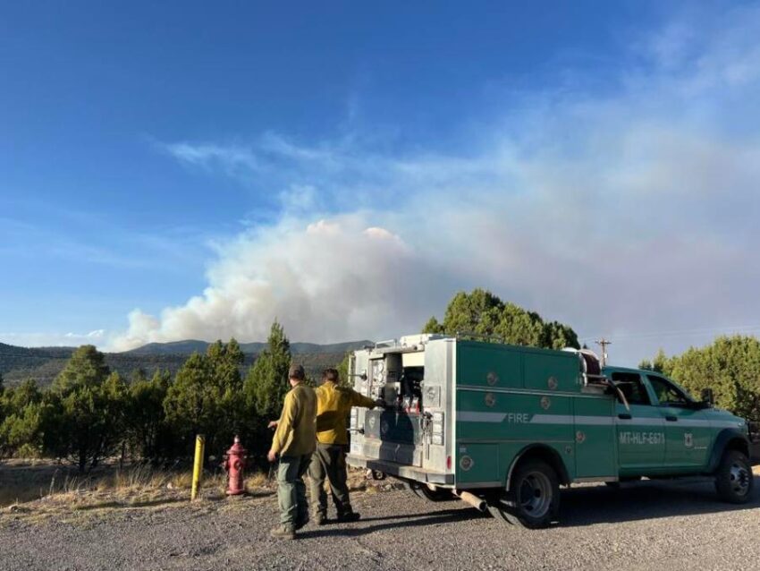
EL PASO, Texas (KTSM) — The Gila National Forest has issued a public safety closure order for part of its land and recreation sites threatened by the Trout Fire that is burning north of Silver City.
The closure area is south and west of New Mexico Highway 35, north of Allie Canyon Trail, Continental Divide National Scenic Trail, Signal Peak Trail, and Tadpole Ridge Trail, and east of Sheep Corral Canyon Trail and Forest Road 4083V in the Sheep Corral area, the Gila National Forest said.
The fire was estimated to be 2,170 acres at 0 percent containment as of Friday morning, June 13.
All National Forest system lands within the closure area are closed to public entry, including developed recreation sites along New Mexico Highway 35 including Allie Canyon Trailhead, Sapillo Continental Divide National Scenic Trail Trailhead, Railroad Canyon Trailhead, Pictograph Canyon Trailhead, Purgatory Chasm Trailhead, Sapillo Group Campground, Mesa Campground, Upper End Campground, Lake Roberts Day Use Area, Lake Roberts Picnic Area, Vista Ruins Picnic Area, and the Lake Roberts Recreation Area.
Additionally, Grant County Sheriff’s Office issued a “Go” evacuation order for private properties along the western end of New Mexico Highway 35, from Sapillo Campground west to the Highway 15/35 intersection, on both sides of the highway.
Private properties east of Sapillo Campground along New Mexico Highway 35 remain in “Set” status under the wildfire preparedness Ready, Set, Go program.
 Read: Read More