


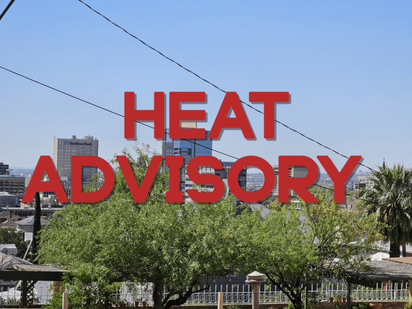
The official high today was 98. We can thank a decent deck of cloud cover for not hitting 100. Things begin to chance on Wednesday, and officially, a Heat Advisory is posted from 9 AM to 9 PM. High pressure will build up rapidly giving us the potential for extreme heat.
TONIGHT: The skies will be partly cloudy, and the west winds will range from 10-25 mph. The winds will slowly die down overnight, and the low will be a very warm 73.
FORECAST: KTSM has issued a Weather Authority Alert due to the potential for extreme heat over the next few days. A Heat Advisory is posted for Wednesday. Wednesday will be mostly sunny and very hot with a high of 105. The west winds will range from 5-20 mph. High pressure will continue to build up quickly and raise temperatures significantly. Thursday will be an extreme heat day with a high of 109. We’ll have a slight chance of an isolated area t-storm. Rain chances are low. Friday will be mostly sunny and extremely hot with a high of 108. We’ll have a slightly better chance of isolated late day t-storms on Friday evening. Rain chances are very low. Saturday will be partly cloudy and 104. Sunday will be mostly sunny and 104. Sunday will be sunny and a little windy with a high of 103.
Read: Read More