


It was the hottest day of the year so far with a high of 109. That blew away the old record of 106 set in 1939.
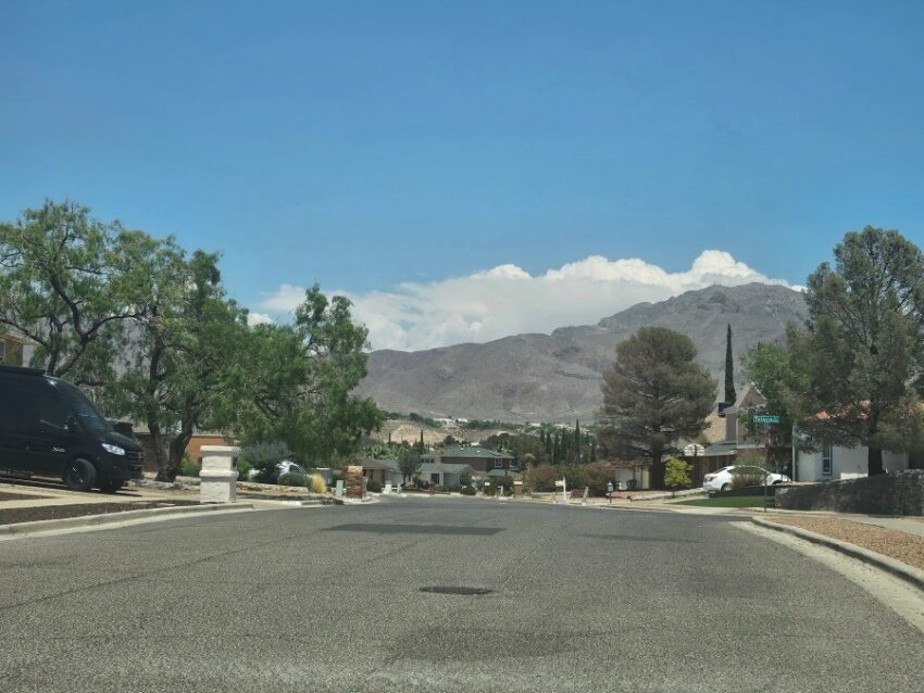
Weather Watcher Vivian Jordan-Corral sent this picture of the clouds trying, REALLY TRYING to turn into a rain cloud over the Franklin Mountains today. Because of the record heat, we did get one isolated shower on the far east side of the county. We’re going to have to wait several more days before the rain chances improve.
TONIGHT: The skies will be partly cloudy early in the evening with a slight chance of an isolated area shower. The SE winds will range 5-15 mph, and the low will drop to 80 as the skies clear.
FORECAST: An Excessive Heat Warning is posted for Friday. The high will be 106, and the winds will shift SW at 10-25 mph. Those hot, dry breezes will mean only a few clouds in the afternoon. Saturday will be sunny with light winds and a high of 103. Father’s Day will be sunny with hot breezes to 25 mph. Sunday’s high: 105. Monday will also be sunny and 105. The SW winds will become a bit gusty on Monday, near 35 mph. Tuesday will be partly cloudy and 103. Wednesday will be partly cloudy with isolated area t-storms by late day. Wednesday’s high: 100.
Read: Read More