


The official high today is 98; the record, 111 set in 2023. At 3:35 AM this morning, Las Cruces airport reported heavy rainfall from overnight t-showers. Even the west side of El Paso received a little bit of rain near dawn.
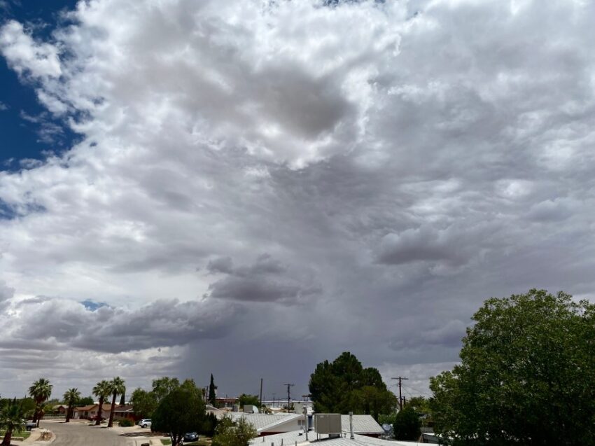
Weather Watcher Marcos T sent in this picture of yesterday’s t-showers. Though we are taking a day off today, those storms return with a vengeance this weekend.
TONIGHT: The skies will be partly cloudy with isolated evening t-storms. The atmosphere has stabilized a bit from yesterday, so the chances for brief, heavy rainfall have gone way down. The SE winds will range from 5-15 mph, and the low will drop to 75.
FORECAST: Saturday will be partly to mostly cloudy with widely scattered late day t-showers bringing the threat of brief, heavy rainfall. Saturday’s high will climb to 99, and all the moisture and instability return by Saturday afternoon, meaning storms could become strong. Sunday will be partly to mostly cloudy and a little cooler with a high of 93. More scattered t-showers are likely on Sunday. Monday will be the coolest day of the week with a high of 89. Look for partly to mostly cloudy skies with scattered showers and some isolated t-storms. Tuesday will be partly cloudy and 93 with only a slight chance of isolated area storms. Wednesday will be partly cloudy and 96 with a few isolated late day t-storms. Rain chances are fairly low. Thursday will be mostly sunny to partly cloudy with a high of 97.
Read: Read More