


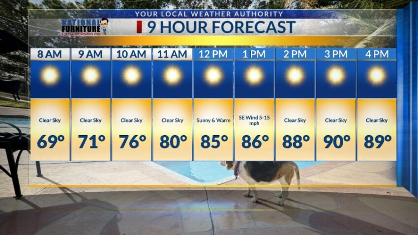
With a high of 92 today, this should be the hottest day of the week, even though we stay above normal through the next 9 days. Normal this time of year is 84. The record for today is 96 set back in 2015. We cool ever so slightly for Friday. Here’s your exclusive 9-Hour Forecast with your 9-Day Forecast below.

TONIGHT: The skies will be clear overnight for a nearly perfect Fall night. The SE winds will range from calm-10 mph, and the low will drop to 65.
FORECAST: Friday will be the first Football Friday Night in the last six weeks without any chance of t-storms. Enjoy sunny skies and a high of 90. The SE winds will range from 5-15 mph. Saturday will be partly cloudy and windy at times with a high of 91. The S-SW winds will range from 10-35 mph, and the winds will die down around sunset. Sunday will be partly cloudy with a high of 89. The SW breezes will range from 5-15 mph. Monday will be partly to mostly cloudy and 88. On Tuesday, a surge of tropical moisture will pass over the Borderland. This will bring a chance of isolated showers and t-showers. Under mostly cloudy skies, Tuesday’s high will be 88. Wednesday will be partly to mostly cloudy with a high of 86. Thursday will be partly cloudy and 87.

Read: Read More