



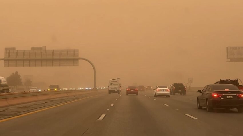
EL PASO, Texas (KTSM) — Saturday is the last day where conditions are calm and on the lighter side of the windy spectrum before strong winds and dust kick in for back-to-back days.
Saturday night, expect a low in the low 60s with mostly clear skies and winds from the southwest 10-20 mph.
For Sunday, a high wind and red flag warning is being issued by the National Weather Service for the El Paso area. The day will begin mostly sunny before dusty and windy conditions begin around 3 p.m. The high will be near 88 with winds increasing to 30-40 mph, with gusts near 50 mph. Overnight, a low in the mid 50s with winds decreasing to 15-25 mph.
Monday will feature another day of strong winds and gusts. The high will be more seasonably average in the low 80s with winds blowing 20-25 mph in the afternoon. Gusts can get as high as 40 mph. The low will be in the mid-50s with wind speeds decreasing to 15-20 mph, with gusts still near 40 mph.
Tuesday’s winds will be on the moderate end, ranging from 15-25 mph with gusts nearing 30 mph. The high will be in the upper 70s to lower 80s with a low around 55. Winds slightly increase into the evening hours up to 25 mph, with gusts nearing 40 mph.
Similar conditions are present for Wednesday with a high in the mid-70s and low around 55. Expect another windy afternoon with the possibility of blowing dust.
Thursday is looking to be slightly warmer with a high in the low 80s and an overnight low near 60.
At this time data shows a slight chance of rain showers on Friday with a high near 85.
 Read: Read More