


KTSM was the first entity to warn you (last Tuesday) of the extreme heat wave building over the Borderland. Our high Sunday was 105, and today the high is 106. I have updated the Misery Meter to reflect those new triple-digit days. We’ve had 28 days so far this year of triple-digit heat, and 10 of those have been between 105 and 109.

Unfortunately, Tuesday and Wednesday will both be the hottest days of the week. Here’s your exclusive 9-Hour Forecast for Tuesday:

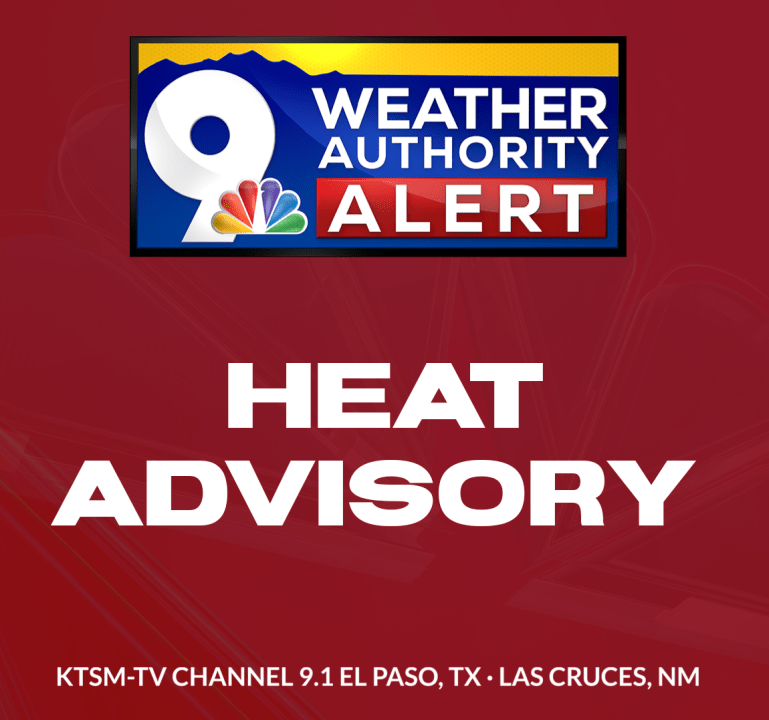
TONIGHT: KTSM has issued a Weather Authority Alert due to extreme heat through Thursday. Tonight: The skies will be clear, and the winds will be light. NW winds will range from 5-10 mph, and the low will be a mild 77.
FORECAST: Tuesday will be sunny and hot with a high of 108. A Heat Advisory is posted for El Paso, Dona Ana, and Luna Counties through Wednesday at 9 PM. A dome of high pressure will reach its maximum on both Tuesday and Wednesday before starting to break down this weekend. Wednesday will be sunny and hot with a high of 108. The south-SE wind will range from 5-10 mph. Thursday will be sunny and 106 with light winds. Friday will be sunny with a high of 104. The ridge of high pressure breaks down as monsoonal moisture starts to move back in. Saturday will be partly cloudy with isolated late day t-storms and a high of 99.

 Read: Read More