


Weather Authority Alert: Get ready for gusty winds to 50 mph on Wednesday!
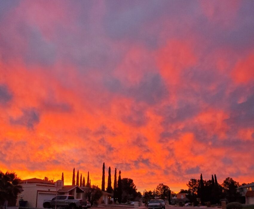
It was a cloudy, gloomy day today with a high of 61. I personally saw about 15 drops on my windshield, and the clouds did a lot of “teasing” today without rain. Most of it evaporated before it hit the ground. The mechanics change for Wednesday, and we’ll have a great chance of rain. Though the clouds were dark and gloomy most of the day, Weather Watcher John Anderson captured this fantastic sunrise. Your full forecast is below…
TONIGHT: The skies will be overcast overnight. Expect a slight chance of a few light raindrops here and there overnight. The SE winds will range from 5-15 mph, and the low will stay a warm 47.
FORECAST: KTSM has issued a Weather Authority Alert for Wednesday due to the gusty winds to 50 mph and rain showers. The skies will be cloudy with periodic rain showers. A Wind Advisory is posted from noon until 8 PM. The SW winds will range from 15-50 mph with the strongest gusts on the east slopes. Wednesday’s high: 59, though it will feel colder in the winds. Thursday will be sunny but windy with a high of 59. Friday will be partly cloudy and 60. Saturday will be mostly cloudy and windy as a cold front pushes in. Saturday’s high will be 50*, but that could happen near midnight. Expect scattered rain showers that could mix over to a light rain/flurries wintry mix midday. On Sunday, we’ll start the day with clouds and even a few drops. By afternoon, the sunshine will come out, and the high will climb to 54. Monday will be sunny and 61.
Read: Read More