


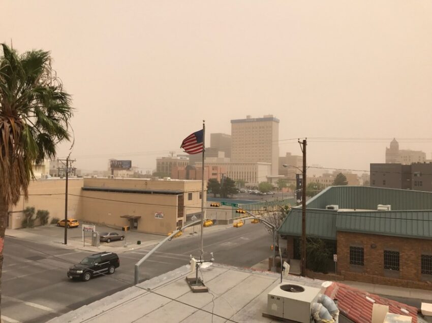
Wednesday will be “one of those days.” Of course, I mean gusty and dusty. I snapped this picture about 6 years ago on the roof of the old KTSM building at Oregon and Yandell. We’ll see how close tomorrow looks compared to this picture.
TONIGHT: The skies will be mostly fair with just a few clouds. The winds will be a steady breeze from the SW at 5-15 mph, and the low will be 46.
FORECAST: KTSM has issued a Weather Authority Alert due to the gusty winds and dusty haze for Wednesday. By afternoon, the SW winds will pick up and gust to near 55 mph. Expect the strongest gusts on the east slopes of the mountains. These warm winds will pop the high up to 80 for a very “Spring-like” day. Thursday will be sunny and cooler with lighter winds. Thursday’s high: 69. The NW winds will range from 10-25 mph. Friday will be mostly sunny with light winds and a high of 70. Saturday will be partly cloudy and warmer with a high of 78. Sunday will be partly to mostly cloudy with moderate winds and a high of 79. Monday will be mostly cloudy but should stay dry with a high of 75. Tuesday will bring mostly cloudy skies, gusty winds, and scattered rain showers. Tuesday’s high: 73.
Read: Read More