


We have a unique combination of factors the COULD lead to strong storms, heavy rain, and even small hail tonight. The atmosphere is extremely unstable. We have full monsoon moisture available. We were very warm today with a high of 94. Be cautious tonight, and avoid flooded roadways.
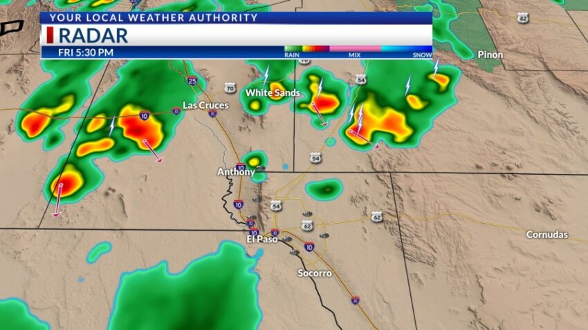
TONIGHT: KTSM has issued a Weather Authority Alert due to the potential for strong t-showers, locally heavy rainfall, and even small hail. The skies will be partly to mostly cloudy with widely scattered showers and t-showers lasting late into the evening hours. The NE winds will range from 10-25 mph, and the low will drop to 68.
FORECAST: Saturday will be mostly cloudy with scattered showers and t-showers. The high will drop to 88, and the NE winds will range from 5-20 mph. A low-pressure system develops right over the Borderland on Sunday. Sunday will be partly to mostly cloudy with a high of 80. Expect scattered showers and t-showers on Sunday. Labor Day Monday will be even cooler with a high of 79. We’ll see mostly cloudy skies, a few scattered showers, and cool breezes. Tuesday will be partly cloudy and 85. Wednesday will be mostly sunny and 90. On Thursday, the high pops up to 94 with partly cloudy skies and a slight chance of late day t-storms. Friday will be 95 with widely scattered PM t-showers.
Read: Read More