


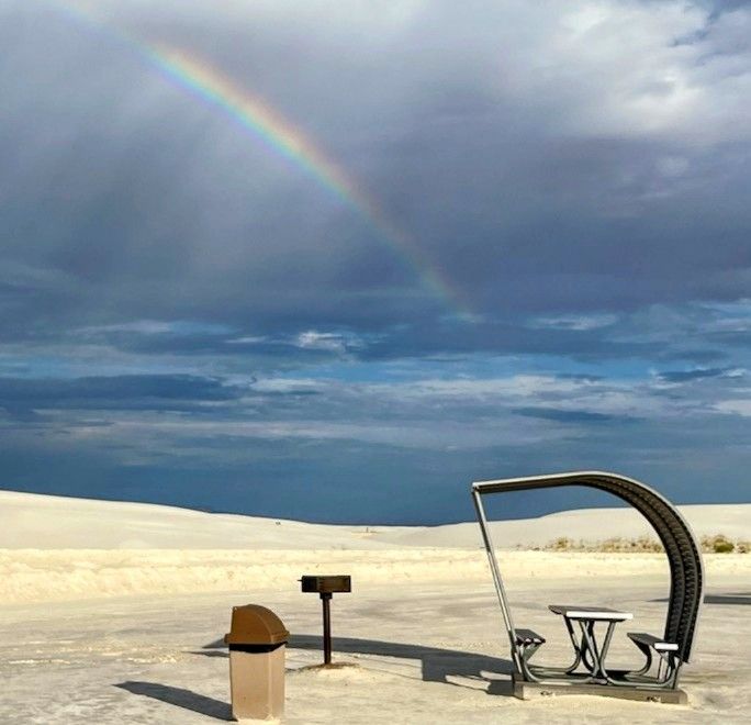
Weather Watcher Sarah Tanski sent in this gorgeous rainbow at White Sands National Park yesterday. Get your phones ready because tomorrow will usher in potentially strong t-showers with the threat of locally heavy rainfall as well as small hail. A cool front combined with a series of upper level disturbances could strengthen the storms.
TONIGHT: The skies will be partly cloudy with isolated area t-showers. The NW winds will range from 5-15 mph, and the low will drop to 71. Skies will clear up overnight.
FORECAST: Friday will be partly cloudy with a high of 92 and widely scattered showers and t-showers. Some storms have the potential to become strong with heavy rain and even small hail. The east-NE winds will range from 10-25 mph with stronger gusts on the west slopes of the mountains. Saturday will be cloudy in the morning with a few lingering showers and a high of 89. By Saturday afternoon, the skies will be partly cloudy to fair. Sunday will be partly to mostly cloudy with a high of 83. We’ll have only a slight chance of a few drops here and there. Labor Day Monday mostly sunny to partly cloudy with cooler winds and a high of 81. Tuesday will be partly cloudy and 85. Wednesday will be sunny and 90.
Read: Read More