


It’s been another very active monsoon afternoon. We’ve had a series of flood advisories and warnings this afternoon.


Here’s your exclusive 9-Hour Forecast for Friday with your 9-Day Forecast below.

TONIGHT: The skies will be partly to mostly cloudy with scattered showers and t-storms. Some storms may produce brief, heavy rainfall and cause localized flooding. Do not drive into flooded roadways. Overnight, the skies will turn partly cloudy as the showers fade away. The low will drop to 67, and the E winds will range from 5-20 mph.
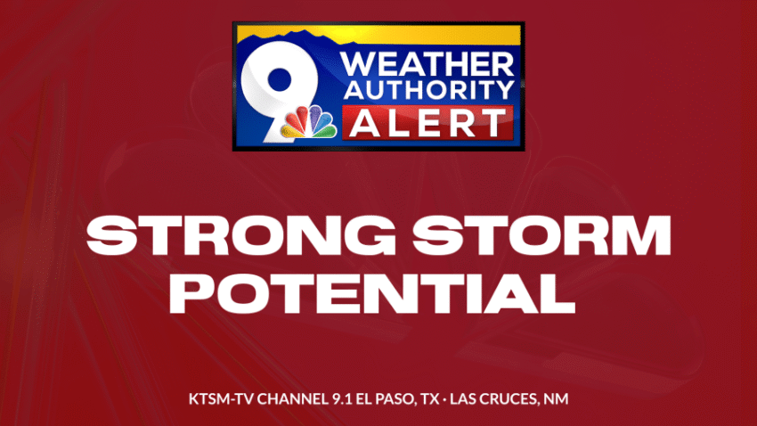
FORECAST: KTSM has issued a Weather Authority Alert due to the potential for strong, possibly severe t-storms on Friday and Saturday. Friday will be partly to mostly cloudy with a very stormy evening. This would be the fourth Football Friday Night in a row with lightning and storms in the area. Expect widely scattered showers and t-showers, with some storms becoming strong and producing brief, heavy rain. Friday’s high: 90. Saturday will be partly cloudy with widely scattered and potentially strong t-showers by Saturday afternoon. With a high of 93, some storms could unlock heavy rainfall. Sunday will be mostly sunny to partly cloudy as the atmosphere takes a day off from storms. With only a slight chance of an isolated area shower, Sunday’s high will be 93. Fall officially begins Monday at 12:19 PM. Monday will be partly cloudy and 92 with a slight chance of isolated area showers. Tuesday will be partly cloudy with a slight chance of isolated showers. Tuesday’s high: 95.

 Read: Read More